Newton Cap Viaduct, Bishop Auckland

Geotag Icon Show on map

Newton Cap Viaduct now carries the main A689 and is not visible from the road or its approaches. There are 11 arches of 60 feet in span, giving a length of 276 yards. Rising 105 feet above the river bed.
Newton Cap Viaduct
Construction started in 1854 with the first freight crossing in 1856.
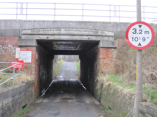
The line closed in 1968 and became a footpath until the road was diverted onto the viaduct as recently as 1993-95. The Bondgate tunnel also lies buried at the Bishop Auckland end, blocked in 1977.

T. Richardson, Hartlepool Iron Works 1851, Moorhouse Estate

Geotag Icon Show on map

Thomas Richardson had acquired the Hartlepool Iron Works in 1847 and this bridge lintel is dated 1851. Although it doesnt appear to be structural as the surround bridge is much newer.
T. Richardson, Hartlepool Iron Works 1851, Moorhouse Estate.
A friend at Network Rail informs me there is a 1940 steel deck built from old rails that carries no tracks.
T. Richardson, Hartlepool Iron Works 1851, Moorhouse Estate.
The live line are carried by a modern steel slab deck installed in 1989.

Stockton & Darlington Railway Sign, Nunthorpe

Geotag Icon Show on map

Nunthorpe railway station was originally on the Stockton & Darlington Railway Middlesbrough to Guisborough line.
Nunthorpe Railway Station
The line opened in 11 November 1853 as a freight line for the Hutton Ironstone mines near Guisborough.
Nunthorpe Railway Station
The passenger station was not opened until February 1854, all properties on this line owned by the company carried a “B” number

Old Railway Bridge between Grosmont and Beck Hole

Geotag Icon Show on map

The original line between Grosmont and Beck Hole was opened in 1836 by the Whitby and Pickering Railway and was horse drawn. Steam came in 1845 when it was absorbed into the York and North Midland Railway.
Old Bridges between Beck Hole and Grosmont
The original line was closed in 1865 when a deviation was made to avoid the rope hauled incline at Beck Hole, although parts were later reused for summer services to Beck Hole and for goods.
Old Bridges between Beck Hole and Grosmont
Although the parapets are stone, the timbers in the river suggest the bridge itself was wooden.
Old Bridges between Beck Hole and Grosmont

Staithes Railway Viaduct

The bridge to carry the Whitby, Redcar and Middlesbrough Union Railway over the valley at Staithes was originally built in 1875 but didn’t open to traffic until 1883. Extra braces were added in light of the Tay Bridge disaster in 1879.
staithes

A bell was installed on the bridge to warn of high winds when trains could not cross.
The viaduct was demolished in 1960 following the closure of the line, the northern abutment can still be seen.
Bridge Remains, Cow Bar to Staithes
Staithes Viaduct

Backhouse’s Bank, Preston Hall

Geotag Icon Show on map

Backhouse’s Bank was founded in 1774 in Darlington by Quaker, James Backhouse. This ‘branch’ is at Preston Hall Museum. Jonathan Backhouse was heavily involved in the £125,000 financing of the Stockton & Darlington Railway.

Backhouse Bank, Preston Hall
In 1896 Backhouse merged with other Quaker banks, Gurney of Norwich and Barclays of London to form what is still known today as Barclays Bank.
Backhouse Bank, Preston Hall

I’m not sure which branch this plaque originated from, possibly Stockton given the date and current location ?

Saltburn Station Subway

Geotag Icon Show on map

The railway lines at Saltburn originally extended directly into the back of the Zetland Hotel as can be seen in this 1950s photo from the East Cleveland Image Archive.

There used to be a pedestrian subway to get under the lines at the rear of the main station.
Saltburn Station Subway
I recall this as a child (early 80s) but cannot remember exactly when it was filled in although this sign on the wall to “Please Be Tidy” is still visible
Saltburn Station Subway
There is a beam stamped with the date 1865, but it cannot now be seen as the area is within someones private garden.

yogi59 has kindly allowed me to use the following photo which shows the subway being filled and the date stamped beam.

Saltburn Subway being filled in